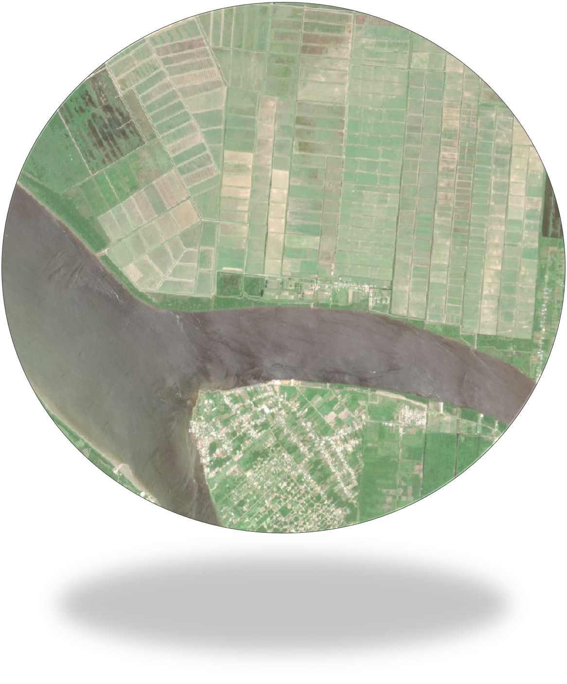
The aim of PROGYSAT is to establish lasting collaborative links between neighbouring countries in the field of Earth Observation applications from SEAS Guiana, through the production and sharing, within a broad institutional partnership, of tools and geo-information derived from satellite images designed to facilitate the monitoring of the environment and the territories of the Guiana Shield.
To this end, PROGYSAT plans to to contribute financially to the supply of satellite imagery requested by SEAS users under the Cooperation programme; to set up simplified information sharing between partners in the sub-region; to develop new application chains providing information on topics of common interest; to import into SEAS innovations in data processing, arising from sub-regional issues; to provide training and distance learning in geomatics, aimed at partners in the sub-region; to raise awareness among the general public and schoolchildren of Earth observation and its importance in understanding the territories of French Guiana and the sub-region.
In concrete terms, the areas of intervention proposed by PROGYSAT can be broken down into 2 complementary areas of operation:
Area 01 - Data and cooperation tools
Area 01 is dedicated to satellite data acquisition activities for cooperation within the SEAS system: programming, formatting and making available calibrated data sets, setting up data processing tools for sub-regional use, setting up distance learning tools, popularising Earth observation applications.
This axis will result in:
- web interfaces for consulting and accessing Project images and products, or for accessing thematic applications and geo-information produced by the Project;
- distance learning sessions and online training materials, accessible via the SEAS Portal;
- communication and outreach activities and materials aimed at partners, the general public and schoolchildren, as part of the SEAS Cooperation strand;
- collaborative links forged by SEAS Guyana with players in the field of Earth observation in Suriname, Guyana and North Brazil.
Area 02 - Thematic applications in the sub-region
Area 02 is dedicated to the development or harmonisation of thematic applications based on satellite imagery. These applications are of priority interest for institutional programmes and scientific work undertaken in French Guiana and the sub-region using Earth Observation data:
- Water resources and environmental sensitivity;
- Malaria and mosquito-borne arboviroses;
- Pollution, urbanisation and precarious housing;
- Knowledge of forest diversity.
The project will focus on 06 thematic applications, with the aim of producing or organising:
- recurring or ad-hoc sets of maps and geo-information;
- training sessions on the use or production of the geo-information produced;
- online availability of the tools needed to produce them;
- synthetic indicators describing the dynamics underway in the regions for each application;
- training for students from French Guiana, Suriname, Guyana and North Brazil (Masters);
- publicity materials aimed at the general public and schoolchildren;
- awareness-raising activities for young people.
Regional partnership
The IRD in French Guiana and the University of French Guiana, via the Espace-DEV Joint Research Unit, have worked closely with the Collectivité de Guyane to develop the content of PROGYSAT as part of a broad institutional partnership.
The objectives of PROGYSAT have been defined with the lead partners, the Anton de Kom University in Surinam and, in Brazil, the Institut National de Recherches Spatiales (INPE), the University of Brasilia and the Federal University of Amapa (UNIFAP). Guyana's authorities and partners are involved in all the project's activities to ensure that the institutional communities benefit fully from the expected results and participate in their construction.
PROGYSAT will bring together contributions from a wide range of institutions and experts in the thematic areas covered by the project: universities, research establishments, agencies and government departments. The results of the project will be made available in different languages so that they can be disseminated as widely as possible.
To find out more: download the project description document

PDF file